Empowering your infrastructure, AEC, and urban planning projects with state-of-the-art Geospatial, Engineering, and BIM solutions. Precision, accuracy, and reality capture at its finest.
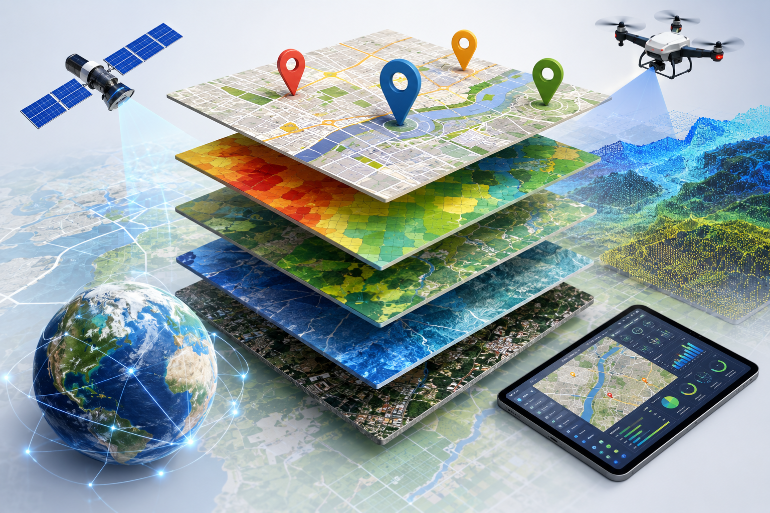
We provide comprehensive Geographic Information System solutions designed to capture, store, analyze, manage, and present spatial and geographic data. Our GIS experts transform complex raw data into interactive, intuitive maps and actionable intelligence.
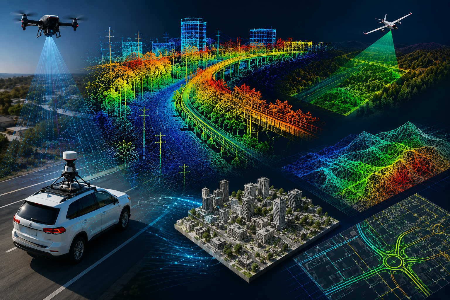
Utilizing advanced Light Detection and Ranging (LiDAR) technology, we generate highly accurate 3D representations of the Earth's surface and target objects. Our robust data processing ensures precise terrain modeling and feature extraction.
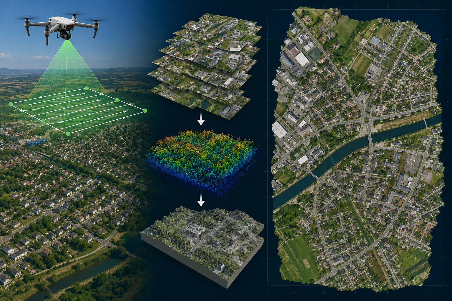
We produce geometrically corrected aerial photographs that offer a uniform scale, allowing them to be used seamlessly as accurate map backgrounds. Our true orthophotos eliminate building lean and topographical distortion.
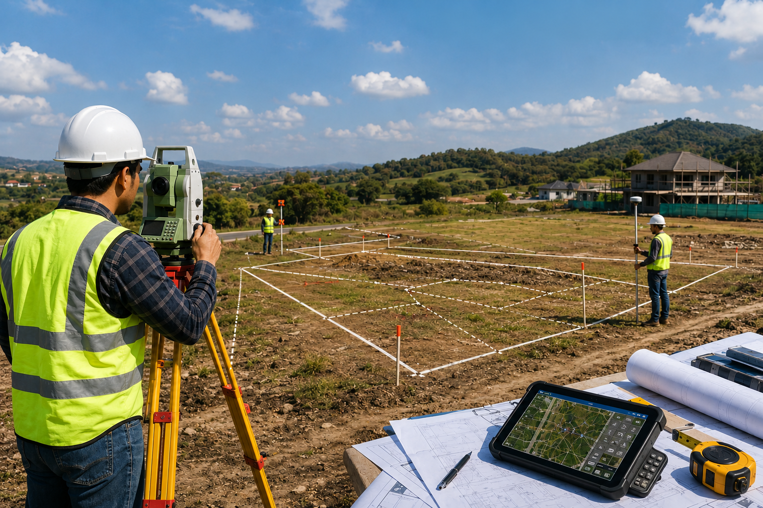
Our traditional and modern land surveying services guarantee precise measurement of property boundaries and construction sites. We combine total stations, GPS/GNSS technology, and experienced surveyors to deliver reliable results.
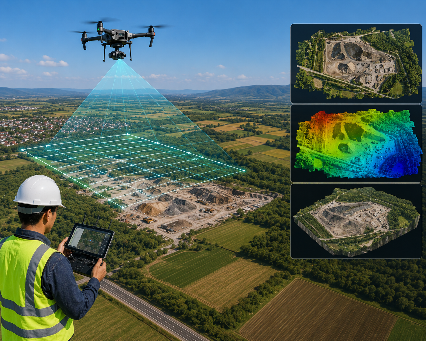
Unmanned Aerial Vehicles (UAVs) offer a rapid, safe, and cost-effective method for collecting high-resolution aerial data. We process drone photogrammetry for detailed topographic mapping, volumetric calculations, and site inspections.
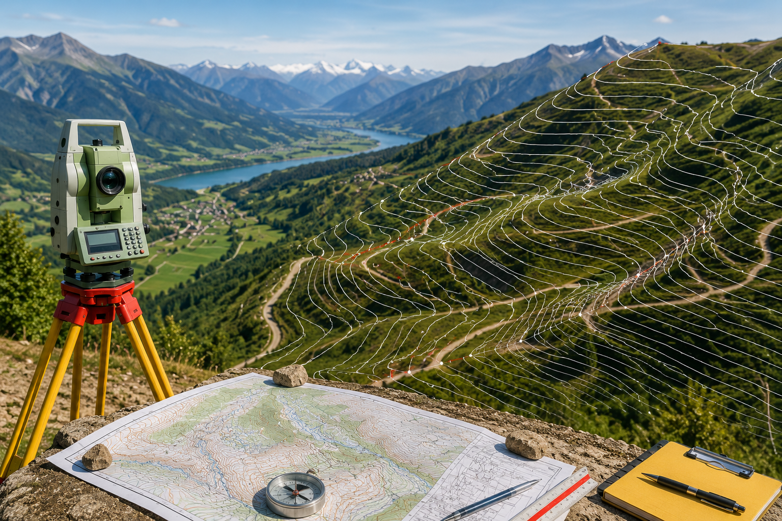
We provide highly detailed mapping of natural and man-made features across your site. Our topographical surveys identify contours, elevations, trees, utilities, and existing structures, acting as the critical foundation for engineering design.
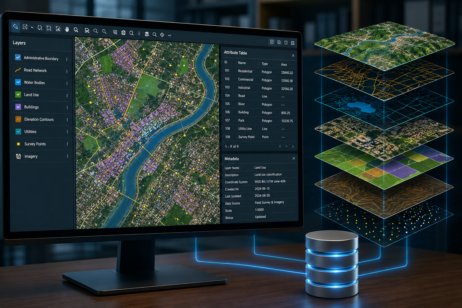
A powerful GIS requires a robust data foundation. We specialize in designing, building, and maintaining enterprise geodatabases that ensure data integrity, facilitate interoperability, and allow for efficient, large-scale querying.
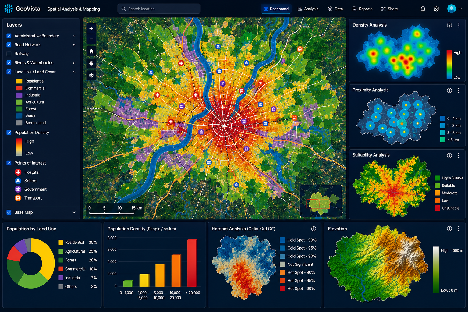
We transform complex geographic data sets into intuitive maps and deep analytical insights. From site selection to risk assessment, our spatial analysis services empower stakeholders to make highly informed, strategic decisions.

Fill out the form below to start a conversation about your business needs and how we can help you grow.